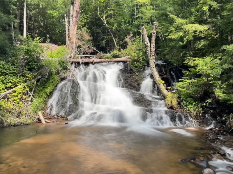
Most people driving County Road 553 near Marquette have no idea a waterfall sits just over a mile off the pavement. There is no big sign, no gift shop, and Google Maps even drops its pin in the wrong spot.
That small mix-up keeps the crowds away and leaves Michiganders who know the way with a quiet, secluded falls of their own. The round trip on the old service road comes out to roughly three easy miles, and it costs nothing but a little time.
Keep reading for the best route in, where to park without getting a ticket, the stairs and bridge at the end, and the winter mistake that strands cars every year.
An Unmarked Waterfall Outside Marquette
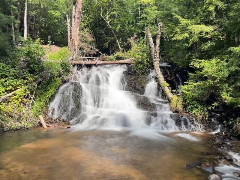
The waterfall in question is Morgan Falls, found in Marquette Township, MI 49855, in Michigan’s Upper Peninsula. It sits a short distance off County Road 553, south of the city of Marquette.
Calling it a secret is only a slight stretch. The spot is tucked at the end of a semi-hidden service road, and the falls themselves are marked by a modest sign.
Yet the people who do find it tend to love it. The falls hold a 4.5-star average on Google, with walkers describing a secluded, serene place that feels far removed from the highway.
The appeal is simple. There is no admission charge noted anywhere, no visitor center, and no fuss, just a dirt road, some stairs, and water tumbling over rock.
For budget-minded Michigan families planning a U.P. day trip, that combination of free, easy, and quiet is hard to beat. The trick is knowing how to get there, which is where most first-timers stumble.
Why Google Maps Gets It Wrong
Here is the quirky part. The map pin for Morgan Falls does not match where the water actually is.
Hikers have pointed out that the real falls sit closer to the road than the map suggests, about 1.3 miles in by road rather than deeper in the woods. Following the pin blindly can send people wandering in the wrong direction.
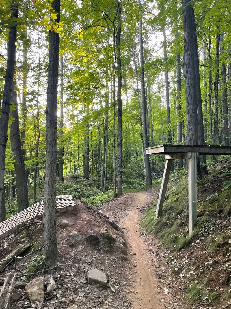
The clearer landmark is on Marquette Mountain Road, the old dirt road leading back from County Road 553. Stay on it, and the falls appear where a sign and a set of stairs drop to the left.
Some walkers call the sign an unnamed Morgan Falls marker, which only adds to the low-key mystery. Others on the Morgan Creek Loop trail say the loop also brings them right to the falls.
One group admitted they clearly took the long way and felt like they walked forever. They still called it a nice waterfall once they arrived.
The lesson is easy. Trust the road and the stairs, not the dot on the screen.
Parking Without a Ticket
Parking is the detail that trips up the most people, so it earns its own section. The road leading to the falls is closed to wheeled motor vehicles, at least during many recent seasons.
Hikers have reported that parking right outside the trail was blocked off. One warning stands out: park near the road that leads to the falls, and a citation may follow.
The safer plan is to use an official lot. Several walkers suggest the area across County Road 553 on the right side when heading toward Marquette, where there is plenty of parking near a web of trails.
Another option is the Noquemanon Trail Network trailhead nearby. Others have parked across from Sugarloaf and walked up the hill along the road shoulder.
Campers staying at Rippling River can skip the car entirely. A path from the campground leads toward the falls.
Rules here can change, so checking posted signs before leaving the vehicle is smart. A free hike stays free only when nobody comes back to a ticket on the windshield.
The Easy Road Route
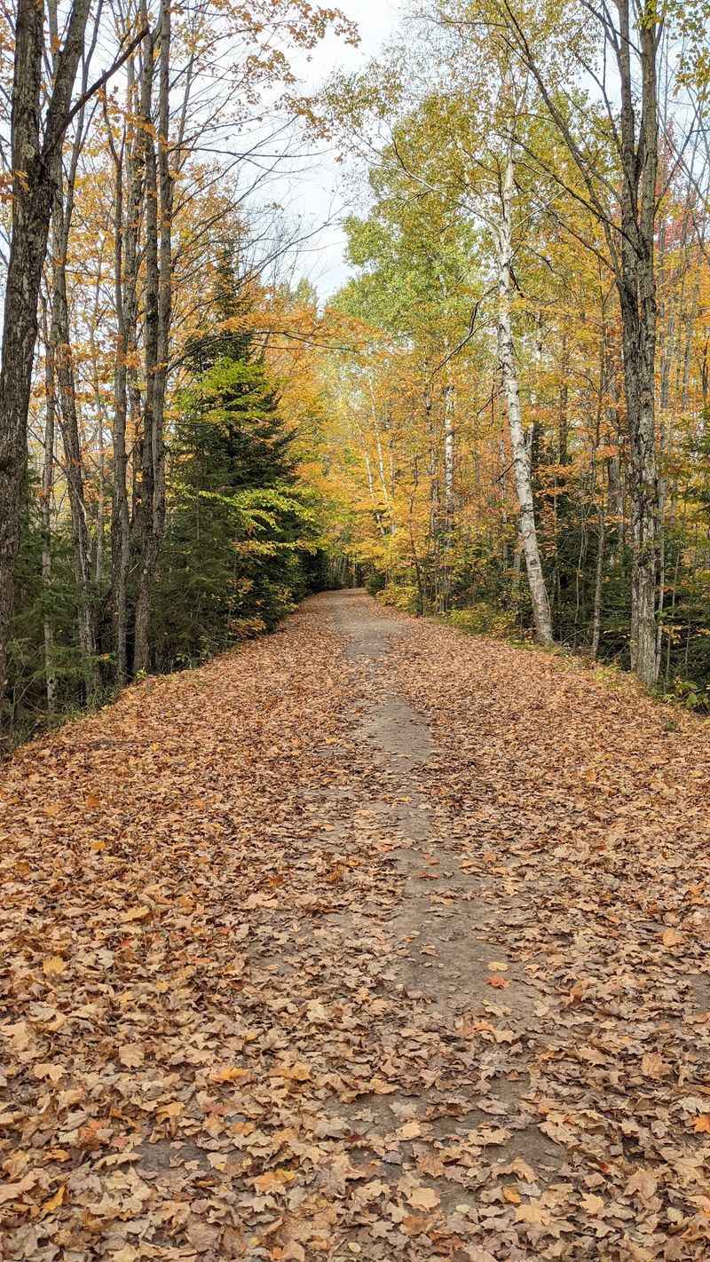
Short, flat, and shady sums up the most popular way in. The walk follows the dirt road from County Road 553, and estimates land between about 1.2 and 1.75 miles depending on where people start.
That puts the full round trip right around three miles. Most describe it as an easy walk for nearly every ability level.
The road is well maintained and mostly shaded, which makes it a friendly choice for grandparents and kids alike. As the falls get closer, the sound of water starts to carry through the trees.
Watch for a path branching off to the left. A sign and stairs mark the turn.
Years ago, some folks drove partway in and walked the last mile, often recommending four-wheel drive because the road was rough. Today the road is generally closed to vehicles, so walking is the expected way.
Nobody needs fancy gear for this stretch. Sturdy shoes, water, and a little patience will do the job nicely.
Switchbacks for the Wanderers
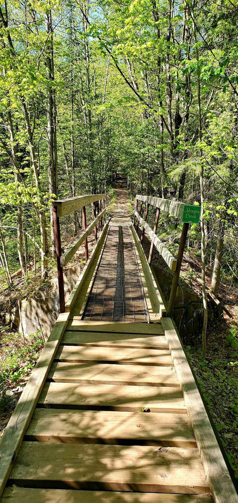
Some hikers want more trail and less road. For them, the Morgan Creek Loop is the scenic alternative.
It is a multipurpose trail that winds through the forest and along the Carp River. With all the switchbacks, the trail distance can be about double the road route.
Another favorite plan starts at the NTN South Trails Trailhead and follows the Carp Eh Diem trail to the falls. Walkers then return on Marquette Mountain Road for a handy loop.
That version is closer to a moderate hike because of elevation gain. The extra climbing comes with extra forest, which plenty of people consider a fair trade.
Bikes are a big part of the picture here. The trails see heavy mountain bike traffic, and the loop is marked dual-use.
Hikers are smart to think about the time of day and stay courteous to riders. Sharing the path keeps everybody rolling, and walking, in good spirits.
Thirty-Some Stairs and a Footbridge
The final stretch is short but has a little personality. From the road, a set of stairs, about 37 steps by one count, leads down toward the falls.
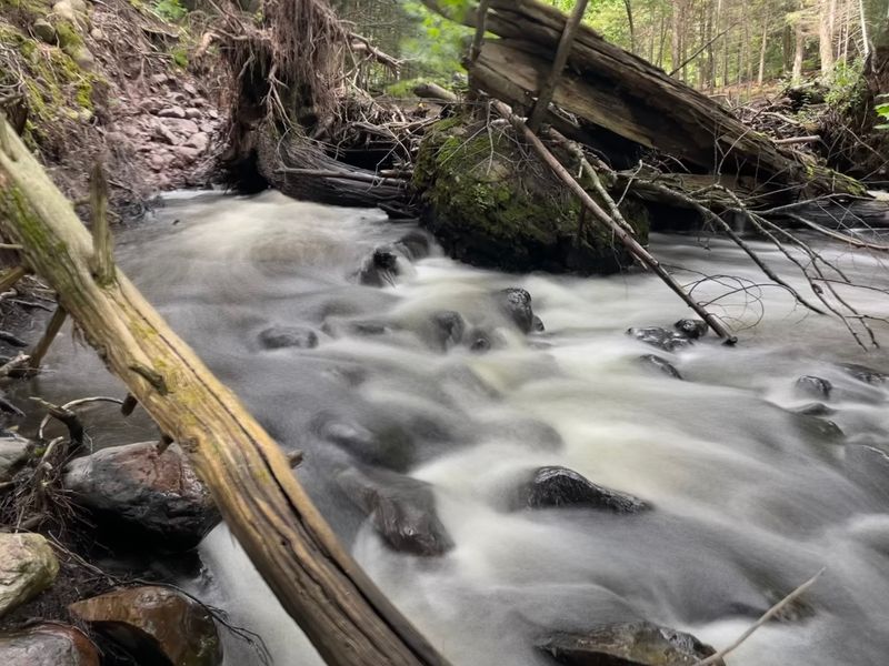
At the bottom, a small wooden bridge crosses the water. From there, a short but semi-steep trail drops to the base of the falls.
That last bit is optional. Those happy to admire the view from above can stay near the top.
Caution matters here. The falls are not handicap or wheelchair accessible, even for anyone who once drove back.
Hikers have also noted trees down near the top of the falls at times, along with a narrow footbridge without a railing. Careful footing is the name of the game.
Kids should stay close, and pets need a watchful eye. Wolf tracks have even been spotted in the mud nearby, so leashes are a wise idea.
A Picnic Table at the Falls
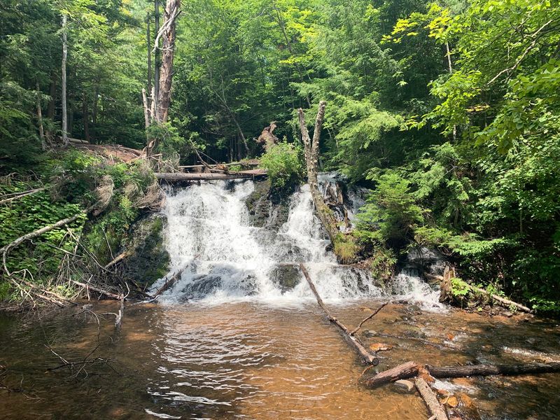
Few waterfalls come with a seat facing the show. Morgan Falls has a picnic table set up right in front of the water.
That small touch turns a quick walk into a relaxed outing. Families can pack lunch from home and enjoy a free meal with a view.
Many people take off their shoes and take a break here. The falls let people walk right up to them for a closer look.
Photographers have plenty to work with too. Both sides of the falls can be reached from above and below, which offers several angles.
The overall mood is calm. Hikers often describe the spot as secluded and truly serene once they arrive.
Camping is not allowed at the falls, so this is strictly a day visit. Plan to pack everything back out and leave the table ready for the next lucky crew.
Every Season, a Different Falls
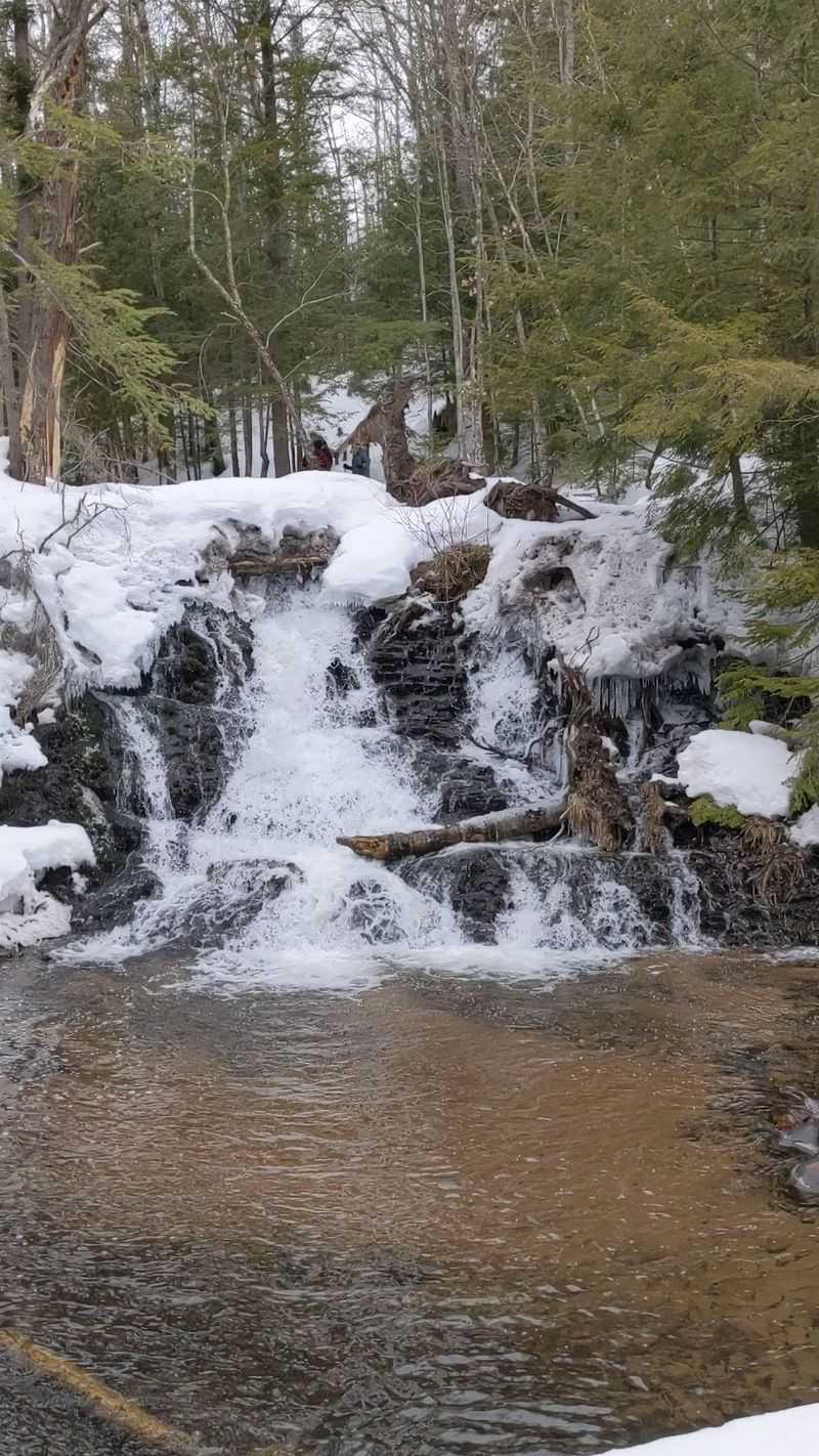
Spring brings the most water. One April after record snowfall, the falls ran high, though the access road was muddy and washed out.
Summer and fall are favorites for easy walking, and many hikers recommend those months. Autumn trips come up often as a reason to return.
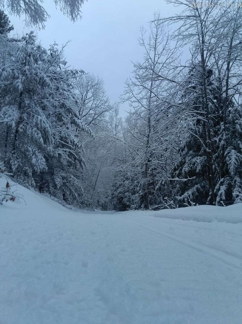
Winter is a whole different story. The road becomes a groomed trail for snowmobiles, bikes, and hikers.
Here is the big warning for Michiganders. Do not drive a car down that road in winter, because it only looks like a snowy road and drivers have gotten stuck.
Parking at an official lot and walking in is the way to go. Icy footing calls for good layers and solid shoes.
Short winter days matter too. One group had to turn around before reaching the falls because daylight ran out, so an early start helps.
Still, plenty of people call the falls very pretty under snow.
Worth the Gas From Downstate
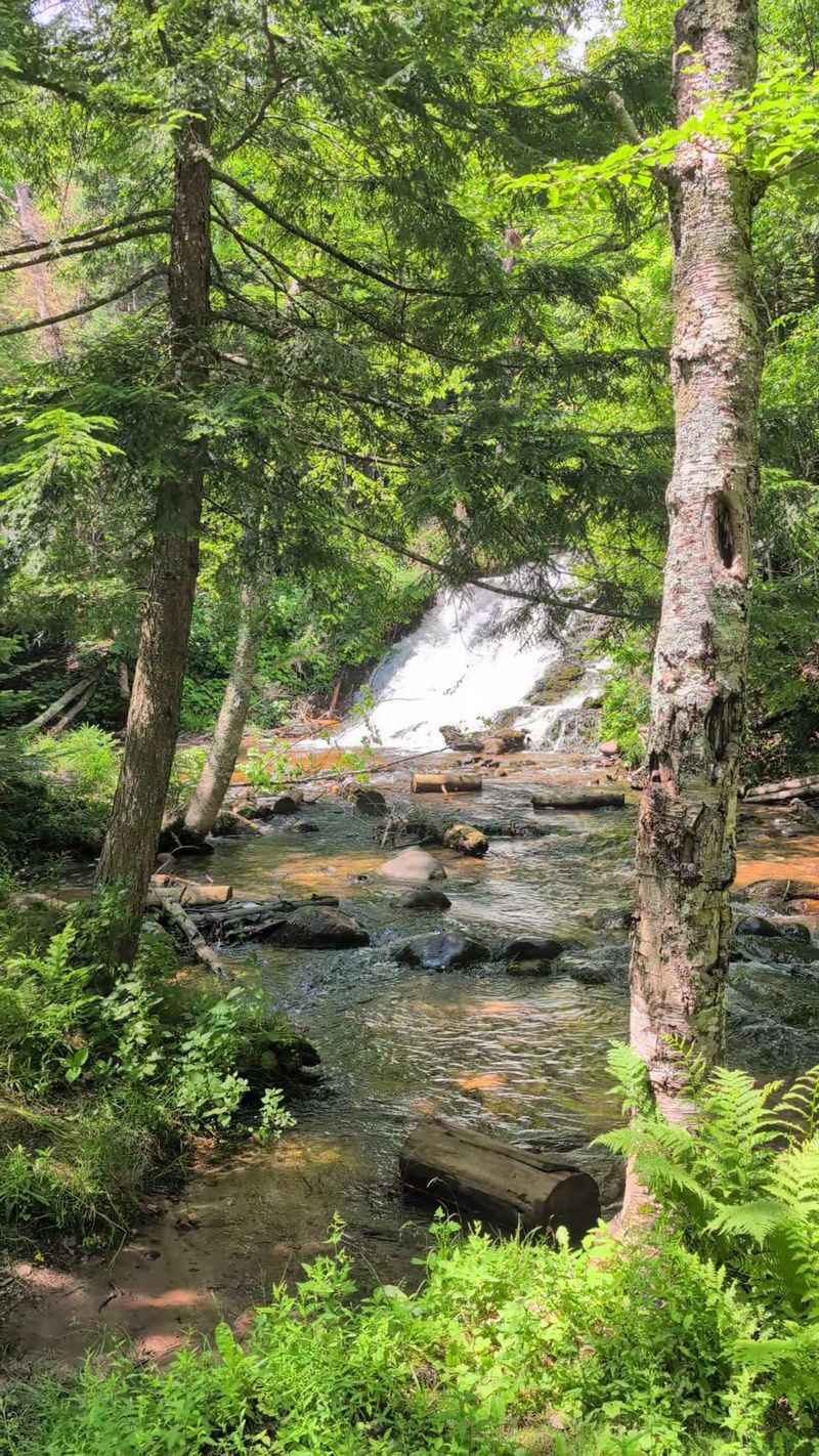
So is the drive worth it? For anyone already near Marquette, the answer is an easy yes.
Morgan Falls is free to walk to, roughly three miles round trip on the road route, and gentle enough for most ages. It packs a picnic spot, a footbridge, and real seclusion into a short outing.
Families from farther away can fold it into a broader Marquette trip. It pairs well with other trail time in the area, and campers at Rippling River have it practically next door.
Keep expectations right sized. These are beautiful small falls, not a towering cascade, and the last bit is not accessible for everyone.
Remember the essentials. Ignore the map pin, park in an official lot, share the trail with bikes, and leave the car behind in winter.
Do that, and Michigan hands over one of its quieter rewards. Plenty of folks say it was worth the time and effort, and many promise to come back for another season.