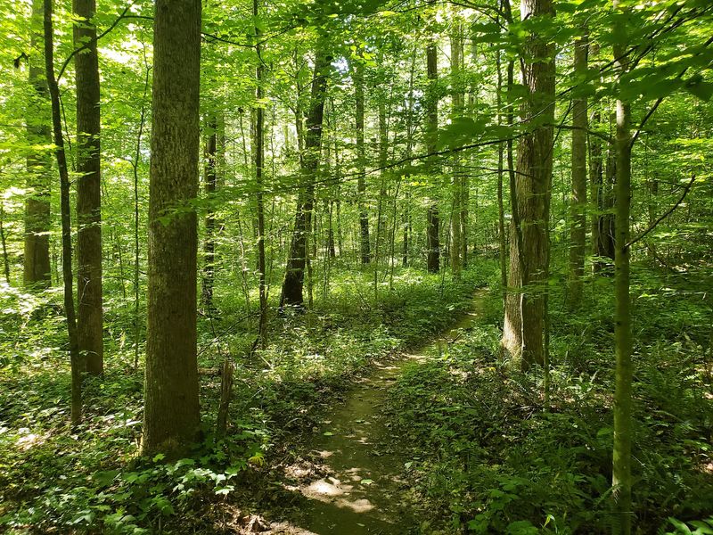
Some trails show off with big overlooks. This one keeps its best secrets low, down in the creek beds that cut through the woods of south-central Indiana.
Hikers hop across those rocky channels, climb wooded ridges, and keep an eye on the gravel, because this corner of the state sits in some of the most famous geode country in the Midwest. The loop runs close to ten miles, follows simple white diamond markers, and has long been free to enter.
Trail runners call it a favorite, and families love that the woods are quiet enough to hear yourself think. Keep reading for the full story: where the trail sits, how long it takes, what the creek crossings are like, what to know about rocks before you pocket one, and the practical tips that make a day here go smoothly from the first blaze to the last.
A Ten-Mile Loop Hiding in Morgan-Monroe State Forest
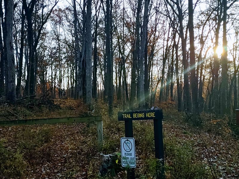
Tucked into the hills between Indianapolis and Bloomington, Three Lakes Trail winds through Morgan-Monroe State Forest near Martinsville, Indiana, in the United States.
The forest office sits at 6220 Forest Road, Martinsville, IN 46151, which makes a handy reference point for your map app.
Plenty of hikers start their day near the DNR building by the Cherry Creek Shelter area. Parking there puts you close to the trail without any guesswork.
The route is a long loop, measured at roughly 9.4 to 10.1 miles depending on whose GPS you trust. Either way, it is a full morning or afternoon on foot.
Morgan-Monroe is one of the older state forests in Indiana and covers a large stretch of rolling, wooded ground across Morgan and Monroe counties. That size is a big reason the trail feels so tucked away.
Nothing about the trail is flashy. There is no gift shop at the halfway point and no paved overlook packed with selfie sticks.
What you get instead is mile after mile of narrow footpath, creek crossings, and climbs that keep your legs honest. For many Hoosiers, that is exactly the appeal.
Once you know where the trailhead is, the next question becomes what kind of ground waits beyond it.
Geode Country Under Your Boots
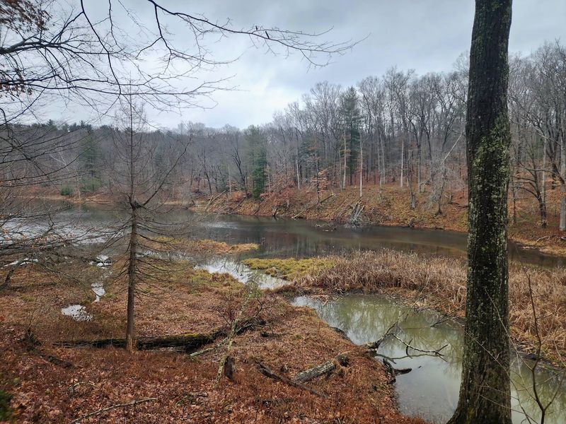
Geodes are a point of local pride in south-central Indiana. The rocky layers under this part of the state are well known for producing round, lumpy stones with crystal-lined hollows inside.
Creek beds are where many of those stones end up. Running water slowly frees them from the surrounding rock and leaves them scattered in the gravel.
That is why so many people who hike the region keep their eyes down at every stream crossing. A plain gray ball of rock can turn out to be something much more interesting.
Three Lakes Trail crosses creek beds again and again, which gives hikers plenty of chances to spot curious rocks along the way. The landscape here belongs to the same general geology that made the area famous among rock hounds.
A quick word of honesty belongs here, though. State forests have rules about removing natural materials, and those rules can change.
Before slipping a stone into your pack, check with the forest office about what is allowed. Looking, photographing, and admiring are always welcome, and many families treat a good find as a picture to take home.
Treasure hunting with your eyes still counts. It also leaves the next hiker something to discover.
Creek Crossings That Keep You on Your Toes
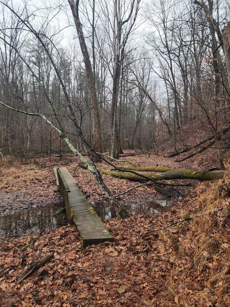
Jumping creek beds is part of the job description on this loop. The trail dips into ravines and pops out the other side over and over.
Some crossings are an easy step across gravel. Others call for a small leap, a good plant of the foot, and a little confidence.
Trail runners love this part most. The crossings break up the rhythm and turn a long run into something closer to a game.
Hikers who prefer a slower pace can simply pick their way across. There is no prize for speed, and careful footing beats a soggy sock every time.
Water levels vary by season and recent weather. After heavy rain, a crossing that was dry last month may need a bit more planning.
Sturdy shoes with decent grip make a real difference here. Smooth soles and slick rocks are not a winning team.
These channels are also the spots where rock lovers tend to slow down and scan the gravel. A creek crossing doubles as a free geology lesson.
Of course, every dip into a ravine means a climb back out, and that brings up the hills.
Nearly 1,400 Feet of Climbing
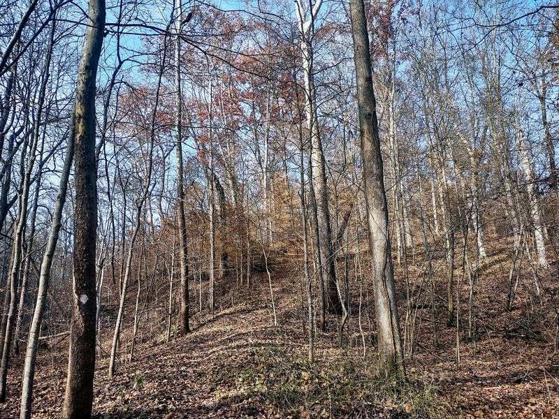
Indiana gets teased for being flat. Three Lakes Trail did not get that memo.
One measurement puts the loop at about 9.4 miles with around 1,389 feet of elevation gain. That total comes from many short climbs and descents rather than one giant mountain.
The trail winds up a ridge, rolls along the top for a while, then drops back toward the next creek. Repeat that pattern for hours, and your calves will file a formal complaint.
The good news is that the grade rarely stays brutal for long. Stretches of flat single track give you room to catch your breath before the next climb.
Runners describe a mix of flat sections, technical footing, and winding ups and downs. That variety is the reason many of them rank it ahead of better-known trails nearby.
Hikers should plan their pace around the hills, not just the mileage. Ten miles on rolling forest ground takes longer than ten miles on a city greenway.
Packing snacks and plenty of water is simply smart planning. Your legs will thank you somewhere around mile seven.
Why Trail Runners Rank It First
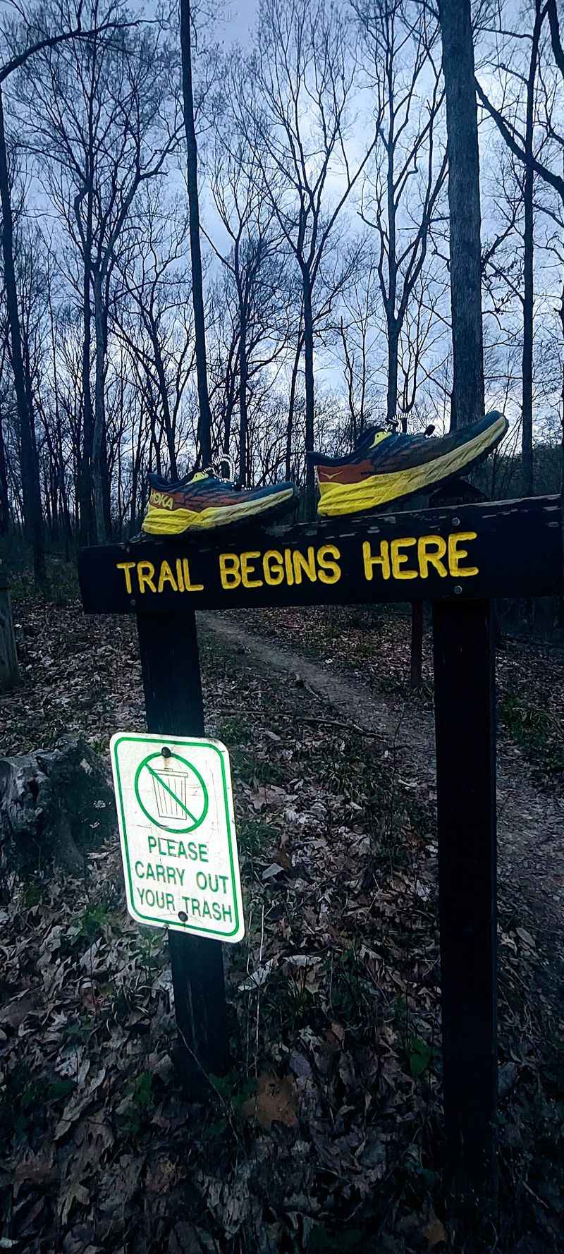
Ask a south-central Indiana trail runner for a favorite long route, and Three Lakes has a strong chance of coming up.
Runners who have tackled Low Gap Trail and Trail 9 in Brown County State Park have called this loop their top pick for longer distances. That is high praise in a region full of good dirt.
The secret is the sheer amount of single track. Mile after mile stays narrow and winding, which is exactly what runners want.
Big views are not the point here. The fun comes from challenges, sharp turns, and the satisfying flow of a trail you can really move on.
Technical patches keep runners alert. Smoother stretches let them open up and pick up speed.
That balance makes it a solid training ground for anyone preparing for trail races. It also works as a weekend adventure for runners who just like getting muddy.
Hikers benefit from the same qualities, only at a gentler pace. A path built for fun running is also a path that rarely gets boring on foot.
Fun is great, but staying on course matters too, and the markings here deserve their own spotlight.
Follow the White Diamonds
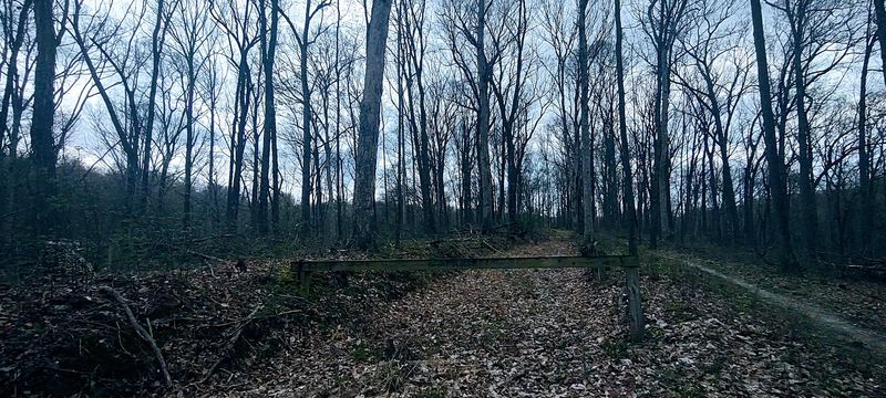
Navigation on this loop comes down to one simple rule: follow the white diamond blazes.
The markers appear throughout the route, and the trail is well marked overall. That is reassuring on a path that runs for roughly ten miles through thick woods.
Even so, attention matters. At least one runner lost the trail once near a cemetery along the route.
The fix was simple. Heading out to a nearby road and turning left led back to the trail again.
That small detour is a good reminder to glance up for the next diamond every so often. Daydreaming is allowed, but not at every junction.
Downloading a trail map before you go is a smart backup. Cell service in a large forest can be unpredictable.
Telling someone your plan and expected finish time is another easy habit worth keeping. It costs nothing and adds peace of mind.
With the blazes guiding the way, most hikers can relax and enjoy the miles. Speaking of relaxing, the mood out here is a big part of the draw.
Room to Think in the Deep Woods
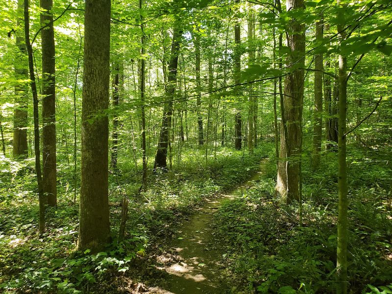
Serenity and total isolation are two words that come up when people describe these forest trails.
Morgan-Monroe is a big forest, and a ten-mile loop spreads hikers out quickly. It is common to go long stretches without meeting anyone.
For some folks, that solitude is the whole reason to make the drive. Busy weeks melt into the background when the only task is finding the next white diamond.
Families looking for an outing with fewer crowds may find it a welcome change from packed state park trails. Retirees who enjoy a long, steady walk often appreciate the calm as well.
Quiet trails also call for a bit more self-reliance. Help is not around every bend, so pack the basics and know your limits.
A small first aid kit, extra water, and a charged phone are easy items to carry. They take up little room and solve a lot of problems.
Solitude here does not mean the forest is empty of history. The trail passes reminders of the people who lived on this land long before it became a hiking spot.
An Old Cemetery Along the Route
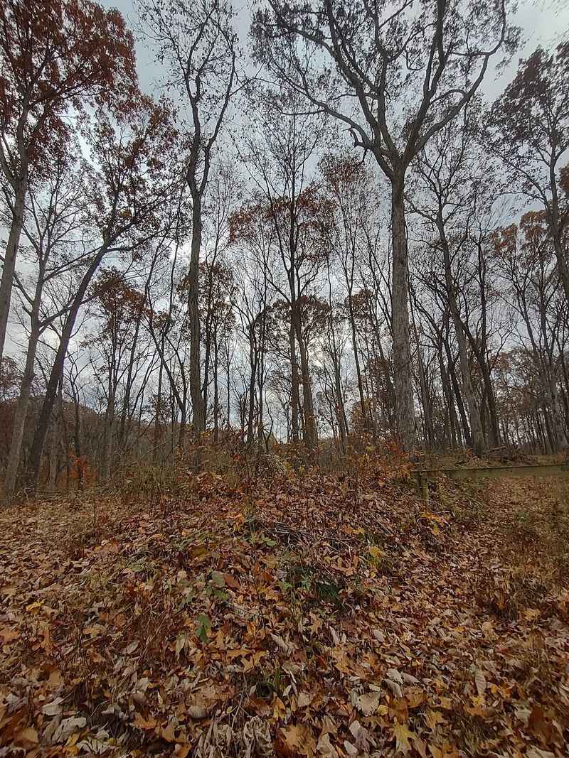
Partway around the loop, the trail passes near a cemetery. It is one of the few human-made landmarks along a route that is otherwise all woods and water.
Small burial grounds like this are scattered across Indiana state forests. Many date back to the families who farmed these hills generations ago.
Their presence is a reminder that this land had a life before it became public forest. Homesteads, fields, and small communities once filled ridges that are now covered in trees.
Hikers are welcome to pause and pay respect, but the space deserves care. Staying on the path and leaving everything as you found it is the right approach.
The cemetery also serves as a handy checkpoint. It is the area where at least one hiker briefly lost the trail, so it is a good spot to double-check for the next blaze.
History buffs can turn a hike into a small research project. The forest office or local historical societies are good places to ask about the families connected to these hills.
A quiet stop here adds depth to the miles. Next comes a question nearly everyone asks before heading out.
Free Entry and Easy Parking
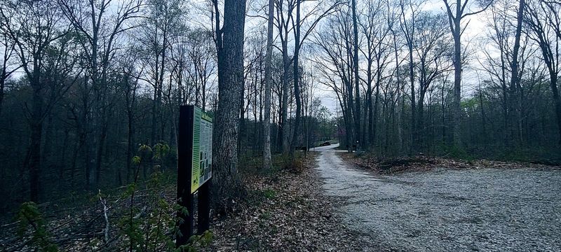
Good news for budget-minded adventurers: this park has been free to enter. One runner even sounded surprised by it.
Unlike many Indiana state parks with gate fees, state forests have traditionally kept entry free. That makes a full day of hiking one of the best-value outings around.
Policies can change, so a quick check with the forest office before your trip is always wise. Even so, a ten-mile adventure for the cost of gas is hard to beat.
Parking near the DNR building at the Cherry Creek Shelter area is a popular choice. It puts hikers right near the trail and close to the forest office.
Arriving early on weekends helps secure an easy spot. It also gives you more daylight to finish the loop without rushing.
Families can pack a picnic and make the shelter area part of the day. Kids who are not ready for ten miles can still explore shorter stretches near the start.
Low cost and simple logistics make this a great pick for a spur-of-the-moment trip. Timing your visit well can make it even better.
Smart Planning for a Long Day Out
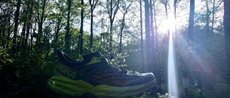
Ten miles of hills will humble anyone who shows up unprepared. A little planning keeps the day fun.
Start with footwear. Trail running shoes or sturdy hiking shoes with good grip handle the creek beds and technical patches far better than casual sneakers.
Water comes next. There are no snack stands on this route, so carry more than you think you need.
Budget plenty of time. Many hikers will want four to six hours for the full loop, while fast runners may finish much sooner.
Weather plays a big role in trail conditions. After rain, creek crossings get trickier and dirt sections can turn muddy.
Spring and fall are popular times for long hikes in Indiana forests, thanks to milder temperatures. Summer outings work best with an early start.
Hunting seasons also occur in state forests, so checking the DNR calendar and wearing bright colors during those times is a sensible move.
Finally, pack out everything you bring in. Keeping the trail clean helps it stay as peaceful as people love it to be.
With the gear sorted, there is only one thing left to decide: whether this trail belongs on your list.
Worth Every Muddy Mile
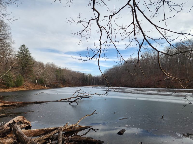
Three Lakes Trail holds a perfect five-star score among the handful of people who have weighed in, and it is easy to understand why.
The loop delivers a lot for very little. There is long single track, real climbing, and creek beds in a region famous for its geodes.
Trail runners get a challenge that rivals better-known routes in Brown County. Hikers get hours of quiet woods with a reliable set of white diamonds leading the way.
Families and road-trippers get a free outing less than an hour from both Indianapolis and Bloomington. That combination is tough to find anywhere.
The trail will not hand you a dramatic overlook. Its rewards are quieter, from a tricky creek jump to a curious rock spotted in the gravel.
Bring good shoes, plenty of water, and a little patience for the hills. Check with the forest office about current rules, especially before collecting anything.
Then hit the trail and see what the creek beds are hiding. Somewhere between the first blaze and the last, this corner of Indiana tends to win people over for good.